Travel guide · Europe
Iceland's south coast: waterfalls, black sand and Vík
A waterfall you can walk behind, another you can climb beside, a glacier tongue and a black beach where basalt columns meet the Atlantic. The south coast is Iceland's most dramatic road trip.
The road east
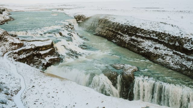
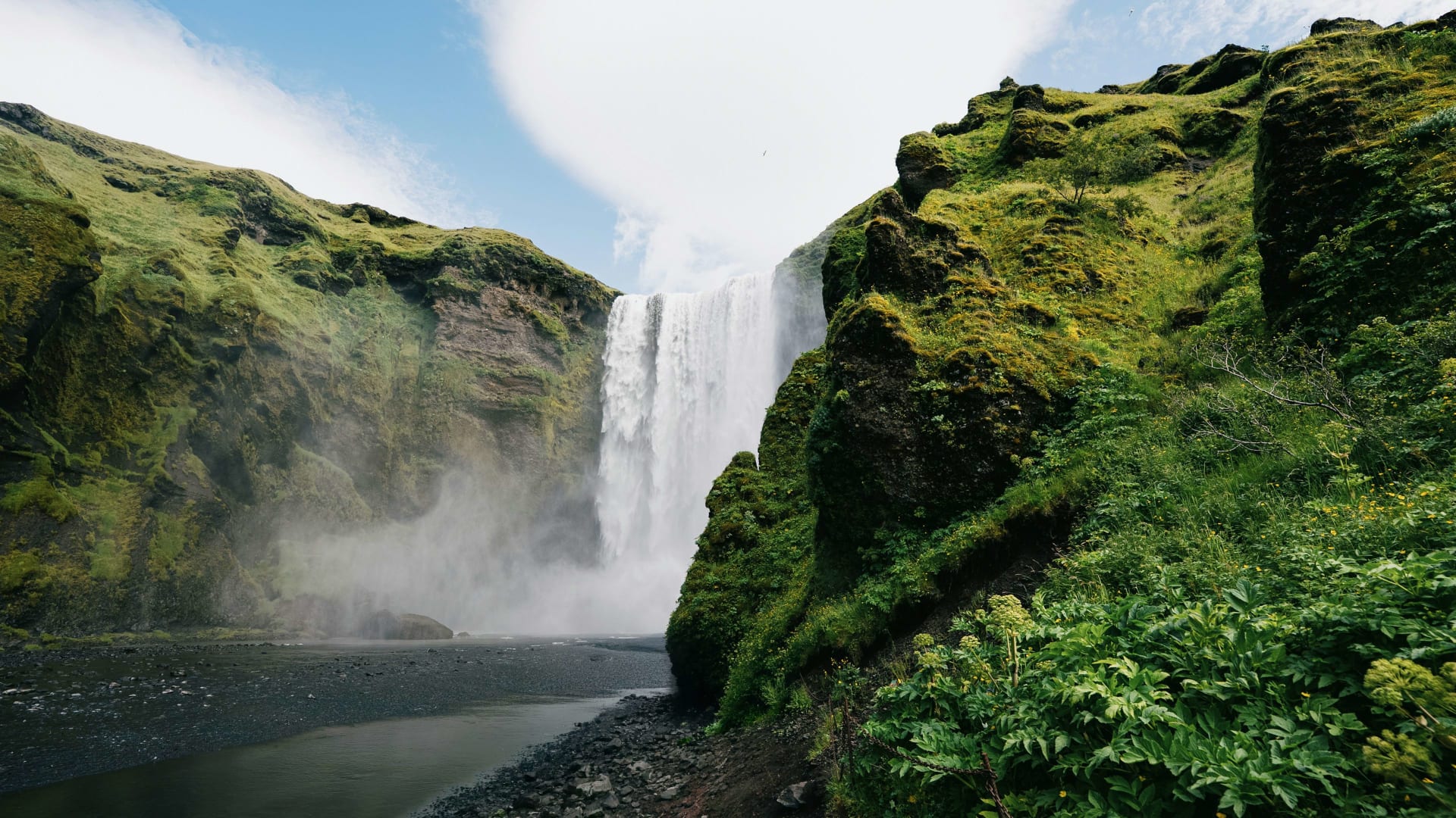
At Skógafoss the noise arrives before the view. You walk across the flat gravel towards a white curtain of water falling from a green cliff, the spray soaking you long before you get close, and on a sunny afternoon a rainbow sits in the mist at its foot. Then you climb the steps beside it and look down on the people where you stood a minute ago.
The south coast is the stretch of Route 1, the Ring Road, running east from Reykjavík towards Vík and on to the glacier lagoon at Jökulsárlón. The first waterfalls are under two hours' drive from the capital. For the rest of the country, see our Iceland travel guide.
The stops
Seljalandsfoss
A tall, slender waterfall with a path that runs behind the falling water. Wear waterproofs, as you will get wet. A short walk north leads to Gljúfrabúi, a smaller fall hidden inside a narrow gorge.
Skógafoss
A broad, powerful waterfall with a long staircase to a viewpoint at the top, where a path follows the river up into the highlands.
Sólheimajökull
A glacier tongue that reaches down towards the road, where guided glacier walks start. Do not walk on the ice without a guide and proper equipment.
Dyrhólaey
A headland with a huge natural arch in the sea and wide views along the coast. Parts of the area may close in nesting season.

Reynisfjara and Vík
A black sand beach with basalt columns and the Reynisdrangar sea stacks offshore, and just beyond it the small village of Vík with its church on the hill. Reynisfjara is beautiful and dangerous: sudden large waves surge far up the beach without warning and have swept people out to sea. Stay well back from the water and never turn your back on the sea.
Further east
Beyond Vík, the road crosses wide lava fields and outwash plains to the canyon at Fjaðrárgljúfur, Skaftafell in Vatnajökull National Park and the glacier lagoon at Jökulsárlón, where icebergs wash up on Diamond Beach. It is a long day from Reykjavík, so plan to stay overnight.
A two-day plan
Day 1: Seljalandsfoss, Skógafoss and Sólheimajökull, then Dyrhólaey and Reynisfjara for the evening light. Stay near Vík.
Day 2: east to Fjaðrárgljúfur and Skaftafell, ending at Jökulsárlón, then stay in the area or drive back.
Getting there and where to stay
A hire car gives you full freedom. Read our guide to car hire in Iceland. Day tours from Reykjavík cover the first stops but give you little time at each. On the way out you can stay at Hotel Rangá, and the trip pairs well with the Golden Circle.
Good to know
Weather and road conditions change quickly, especially in winter. Check forecasts and road reports every morning.
The car parks at the big waterfalls are busy at midday. Early and late are calmer.
Petrol stations and shops are spread out. Fill up when you can.
Frequently asked questions about Iceland's south coast
How many days do you need for Iceland's south coast?
One long day reaches Vík and back. Two or three days lets you continue to Jökulsárlón without rushing.
Is Reynisfjara dangerous?
Yes. Sudden large waves can surge far up the beach. Stay well back from the water, keep children close and follow the warning signs.
Can you walk behind Seljalandsfoss?
Yes, on a path behind the falling water. It is wet and can be slippery, and it may close in winter when it is icy.
Can you drive the south coast in winter?
Yes, the Ring Road is kept open, but expect ice, wind and short days. Choose a four-wheel drive and keep a flexible plan.
How far is Jökulsárlón from Reykjavík?
It is a drive of around five hours without stops, which is why most people stay the night on the way.
More travel inspiration in Iceland's south coast
New Year's Eve in Reykjavik 2026, with bonfires, fireworks and hotels
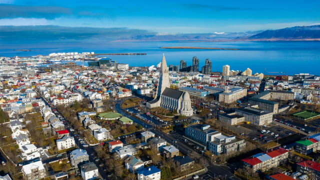
Reykjavik celebrates with bonfires across the city, a comedy show that empties the streets and fireworks from half past eleven. These are the hotels in the centre, from Austurvöllur to Hallgrímskirkja, with guest ratings.
Northern lights in Iceland: where to stay and when to go
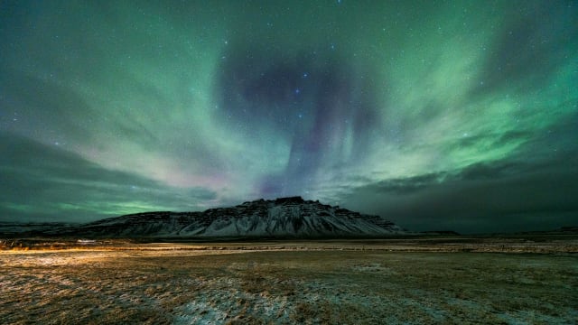
Where to see the northern lights in Iceland, from the south coast to the north: the best hotels outside Reykjavík, the cloud forecast, direct flights from the UK and how many nights you need.
Hotel Rangá, Iceland: which room to book, and who it suits
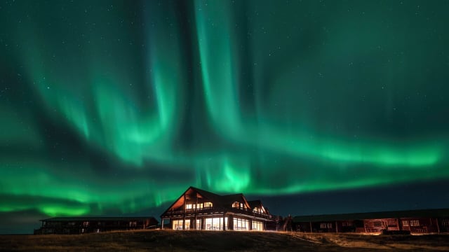
Hotel Rangá on Iceland's south coast: a northern lights wake-up service, an observatory and hot tubs by the river, about 90 minutes from Reykjavík. Every room type compared and who it suits.